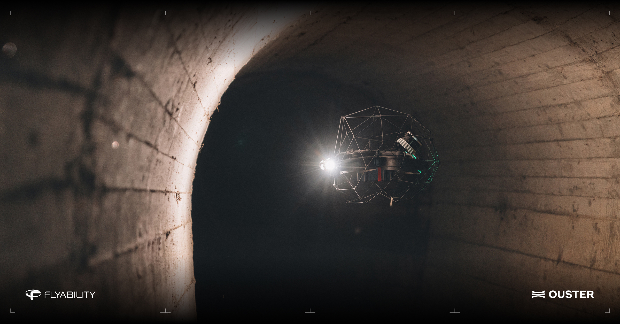
Ouster, Inc., a leader in sensing and perception for Physical AI, and Flyability, a pioneer in confined-space inspection and mapping, will showcase their long-standing technology collaboration at INTERGEO 2026, taking place September 15–17 in Munich, Germany.
Flyability will join Ouster at Booth B5I018 in Hall B5, where the companies will demonstrate how the combination of Flyability’s collision-tolerant Elios 3 drone and Ouster’s digital lidar enables industrial teams to capture accurate 3D data in environments that are difficult to access with conventional surveying equipment and unsafe for people to enter.
Combining Aerial Access with Rugged 3D Sensing
For more than five years, Flyability and Ouster have worked together around a shared challenge: enabling reliable mapping and inspection in dangerous, dark and GPS-denied environments.
The collaboration combines two complementary technologies: Flyability’s Elios 3 is designed to fly safely in confined and inaccessible spaces, while Ouster’s compact, rugged OS0 lidar provides the high-density 3D measurements required for spatial awareness and mapping.
Data from the Ouster lidar feeds Flyability’s SLAM and mapping systems, supporting real-time localization, flight stability and collision avoidance. This rich data also allows Elios 3 operators to capture measurable 3D representations of industrial assets during their inspection missions.
This combination is particularly valuable in environments such as mine shafts, wastewater tunnels, tanks, industrial vessels and other confined spaces. In these environments, GPS is unavailable and conventional visual sensors can be limited by total darkness, airborne dust or surfaces with few distinctive visual features.
“Flyability has demonstrated how digital lidar can create real operational value when it is taken into environments that conventional surveying systems cannot easily reach,” said Ouster CEO Angus Pacala. “Our collaboration brings together rugged, high-density 3D sensing and a unique aerial inspection platform, helping industrial teams understand critical assets while reducing the need for people to enter hazardous spaces.”
From Visual Inspection to Measurable 3D Data
By carrying lidar into previously inaccessible areas, Elios 3 helps industrial operators move beyond visual inspection records to create spatially accurate 3D representations of their assets. The combined Flyability and Ouster solution provides several benefits:
-
Enhanced Operational Safety: The drone carries inspection and mapping sensors into confined or hazardous spaces, reducing the need for personnel to enter them.
-
Reliable Spatial Awareness: Ouster lidar supports localization, stability and collision avoidance in dark and GPS-denied environments.
-
Efficient Single-Pass Data Collection: Combines visual inspection with high-density 3D mapping into a single mission, delivering measurable point cloud data while reducing operational disruption.
“Our collaboration with Ouster began with a shared ambition: to capture reliable 3D data in places where people should not have to go,” said Adrien Briod, CTO at Flyability. “Ouster’s lidar has become a critical part of the Elios 3 mapping platform. Bringing our teams together at INTERGEO gives us the opportunity to show surveying professionals how aerial access and high-performance lidar are already changing the way complex industrial environments are documented and understood.”
Exploring The Future of Industrial Reality Capture
At INTERGEO, Ouster will showcase Rev8, the world’s first native color digital lidar. By combining color and 3D data within a single sensor, alongside increased range, precision, and resolution, Rev8 represents a significant step forward for industrial reality capture.
Flyability is evaluating how Rev8’s increased range, precision, and resolution can enhance SLAM, mapping, and flight-path data capture for Elios 3 and future inspection workflows.
TrendForce 2026 Infrared Sensing Application Market and Branding Strategies
Release: 01 January 2026
Format: PDF / EXCEL
Language: Traditional Chinese / English
Page: 168
|
If you would like to know more details , please contact:
|


